

Indicator Surf Forecast and Surf Reports
(Los Angeles County, USA)
- Forecast
- Maps
- Live
- Weather State
- Spot Information
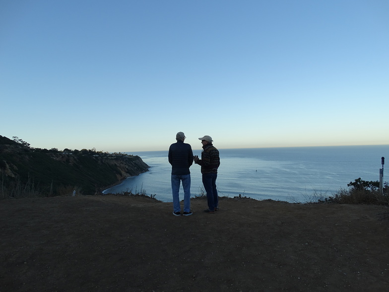 Photo by: RedondoBeachSurf
Indicator Surf Guide
Indicator in LA County is a reasonably exposed reef and point break that has reasonably consistent surf. Winter is the best time of year for surfing here. Offshore winds are from the southeast. Most of the surf here comes from groundswells and the ideal swell direction is from the northwest. Reef breaks provide lefts and rights and there is also a left hand point break. Best around mid tide. A fairly popluar wave that can sometimes get crowded Hazards include rocks and rips.
Indicator Spot Info
| Type: | Rating: |
|---|---|
| Reliability: | Todays Sea Temp*: |
| fairly consistent | 58°F*ocean temperature recorded from satellite |
Surfing Indicator:
The best conditions reported for surf at Indicator occur when a Northwest swell combines with an offshore wind direction from the Southeast.
What's the best time of year to surf Indicator (for consistent clean waves)?
Explore Indicator Location Map
Interactive Indicator surf break location map. View information about nearby surf breaks, their wave consistency and rating compared to other spots in the region. Current swell conditions from local buoys are shown along with live wind speed and direction from nearby weather stations. Click icons on the map for more detail. The closest passenger airport to Indicator is Jack Northrop Fld Hawthorne Muni Airport (HHR) in USA, 18 km (11 miles) away (directly). The second nearest airport to Indicator is Los Angeles International Airport (LAX), also in USA, 18 km (11 miles) away.
- Map Icons:
 Break
Break Live Wave Height (ft)
 Live Wind Speed (mph)
 Surf Rating (10 Max)
 Ocean Swells (ft)
- Wind Speed (mph)
Wednesday, 26 March 2025, 03:42 Local Time
| Wednesday 26 | ||||
| 2AM | 5AM | 8AM | 11AM | |
| Wave (ft) | ||||
| Period (s) | 18 | 17 | 17 | 16 |
| Wind (mph) | ||||
| Wind State | cross | cross | glass | cross |
Tides at Indicator
| NEXT | IS AT (local time) | remaining |
|---|---|---|
| high tide | ||
| low tide |

Swell History at Indicator
Surf stats for Indicator, see the swell variation by month or season on the history page here.


Wind History at Indicator
Wind stats for Indicator, see the variation in direction and stength by month or season on the history page here.

Other Nearby Breaks Closest To:
Discover surf breaks near Indicator. Click below to view there surf guides.
Wave Buoys Nearest To Indicator:
- Closest Wave BuoySan Pedro, CA12 mi
- Second closest Wave BuoySanta Monica Bay, CA13 mi
- Third closest Wave BuoyLong Beach Channel, CA14 mi
- Fourth closest Wave BuoySan Pedro South, CA20 mi
- Fifth closest Wave BuoySanta Barbara Island North, CA34 mi


 Nearest