

Lagundri-Indicators Surf Forecast and Surf Reports
(Nias, Indonesia)
- Forecast
- Maps
- Live
- Weather State
- Spot Information
Lagundri-Indicators Surf Guide
Lagundri-Indicators in Nias, Hinako Islands is an exposed reef break that is usually a safe bet. May-Oct (Dry Season) is the optimum time of year for waves. The best wind direction is from the north. Tends to receive distant groundswells and the best swell direction is from the southwest. There is a right breaking reef. Best around high tide when the tide is rising. Unlikely to be too crowded, even when the surf is up. Take care of rocks in the line up.
Lagundri-Indicators Spot Info
| Type: | Rating: |
|---|---|
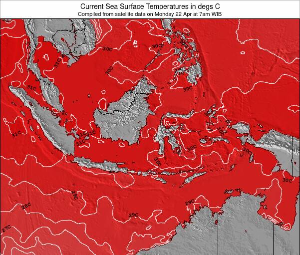
| Reliability: | Todays Sea Temp*: |
| very consistent | 85°F*ocean temperature recorded from satellite |
Surfing Lagundri-Indicators:
The best conditions reported for surf at Lagundri-Indicators occur when a Southwest swell combines with an offshore wind direction from the North.
What's the best time of year to surf Lagundri-Indicators (for consistent clean waves)?
Explore Lagundri-Indicators Location Map
Interactive Lagundri-Indicators surf break location map. View information about nearby surf breaks, their wave consistency and rating compared to other spots in the region. Current swell conditions from local buoys are shown along with live wind speed and direction from nearby weather stations. Click icons on the map for more detail. The nearest passenger airport to Lagundri-Indicators is Binaka (Gunung Sitoli) Airport (GNS) in Indonesia, which is 66 km (41 miles) away (directly). The second closest airport to Lagundri-Indicators is Tabing (Padang) Airport (PDG), also in Indonesia, 334 km (207 miles) away.
- Map Icons:
 Break
Break Live Wave Height (ft)
 Live Wind Speed (mph)
 Surf Rating (10 Max)
 Ocean Swells (ft)
- Wind Speed (mph)
Thursday, 27 March 2025, 11:43 Local Time
| Thursday 27 | ||||
| 10AM | 1PM | 4PM | 7PM | |
| Wave (ft) | ||||
| Period (s) | 16 | 16 | 15 | 15 |
| Wind (mph) | ||||
| Wind State | cross- off |
cross- off |
cross- off |
cross- off |
Tides at Lagundri-Indicators
| NEXT | IS AT (local time) | remaining |
|---|---|---|
| high tide | ||
| low tide |
Swell History at Lagundri-Indicators
Surf stats for Lagundri-Indicators, see the swell variation by month or season on the history page here.


Wind History at Lagundri-Indicators
Wind stats for Lagundri-Indicators, see the variation in direction and stength by month or season on the history page here.

Other Nearby Breaks Closest To:
Discover surf breaks near Lagundri-Indicators. Click below to view there surf guides.
Wave Buoys Nearest To Lagundri-Indicators:
- Closest Wave BuoyIshigaki Port2414 mi
- Second closest Wave BuoyHirara Port2491 mi
- Third closest Wave BuoyNaha Port2669 mi
- Fourth closest Wave BuoyNakagusuku Bay Port2684 mi
- Fifth closest Wave BuoyNaze Port2853 mi


 Nearest